The geopolitical situation is changing every hour at present. In the past three weeks I’ve written and scrapped four articles that have been superseded while I wrote them. This one however is far more wide ranging and a little more of an eye opener than I was expecting. Things are changing so fast, and clearly many countries heard what Trump said in his first term and made provision for it. They look especially farsighted now.
The Cold War in the space around our planet is getting worse with every passing month. Only yesterday the Chinese completed another satellite first, as they demonstrated a five-satellite dog fight – there’s no other wording to describe it. They practiced maneuvering combat satellites actively fighting each other in space.
I recently attended a briefing on the current satellite situation – primarily based on photographic reconnaissance units, because of the withdrawal of American support for Ukraine and its later restoration, making it clear how dependent the Ukrainians are on a limited resource. The shocking thing to me was how very limited that resource actually is and how little of it is actually under the direct control of the US military or its supplying government agency, the National Reconnaissance Office.
US GOVERNMENT SPY SATELLITES

These started back in the 1960’s with satellites equipped with film pod cameras that ejected the capsule back to Earth – it was usually captured by a C-130 Hercules with what looks like a giant Y-shape butterfly net strapped to the front of it that would be in the area and catch the capsule. The problem was satellites could only old so many camera film modules and didn’t last long. In fact this scenario was the basis of the Rock Hudson movie Ice Station Zebra, where a US submarine has to find a Soviet pod in the arctic ice before the Soviets do, leading to a Cold War stand off. It’s pretty amusing to watch even today.

The first digital satellites that beamed images back to the ground where the KH-11 known as Keyhole, and they were first deployed in 1979. Through the torturous history of the Cold War, the Peace Dividend following it and so on, little was done to update them. Every known project, including Misty which was supposed to replace the Keyhole failed to do so, being canceled after two launches and $16 billion.
Post 9-11 the type of combatant changed the game, finding terrorists and insurgents was a whole new ball game and required an integrated mesh of imagery and signals intelligence, coupled to synthetic aperture radar.
The new satellite program, the Future Imagery Detector was another failure, wasting at least $25 billion in 2006 and the optical imagery part was cancelled.
The result of this was the decision to restart production of the obsolete KH-11, because while expensive it was still cheaper and a known quantity. The updated but at least functional pair built were launched in 2011 and 2013. Nobody expected there to be any more. But with nothing new and viable available, six years later the US ordered three more KH-11’s, launched in 2019, 2021 & 2022. These are believed to have additional capabilities but they are the only optical satellites the US Government actually owns for military intelligence gathering purposes. Some of this information is shared with Ukraine, through the complex edifice of the National Reconnaissance Office.
EUROPEAN OPTIONS
However over the years commercial satellites such as those used by Maxar, which have been responsible for the creation of Google Earth until recently (google swapped contracts only recently to an Airbus satellite), have been providing more and more of the high level images – and contracted through the NRO their images are distributed with KH-11’s and other signals and Synthetic Aperture Radar satellites (they can scan oceans and track shipping, as well as land targets), to Ukraine and the NATO allies.
These additional satellites such as the SkySats 1-15 orbit in Sun Synchronus -98 degree angles for permanent daylight, while SkySats 16-21 are at a 53 degree inclined orbit. This allows as many as three to image a land site from every angle and digitally piece it together as a whole. However they’re great for general observation but not so much detail work.
This sudden availability of commercial satellites that can produce everything as good as any military satellite has left western governments realizing that expensive spy satellites are not especially viable, and while America still persists, contracting commercial suppliers for imagery is far more cost effective – and the commercial companies are well aware of it. However as Maxar found, the US Government contracts override even contracts with other governments or entities if the NRO deems it so, and they can force a cessation of image supply anytime it suits them. Maxar is US based so it has no choice but to comply. Yet another red alert for the Europe+ states who could be cut off by Maxar and a couple of others at any time. This is where Airbus comes in as an invaluable constructor and operator. Being Franco-German, the security of supply issue doesn’t apply. France also controls its own satellite launch business out of Kourou in French Guyana.
Is there an advantage to KH-11? It has a 3m mirror capable of around 5.4cm/pixels. But it’s not any better than that even at best. On average it’s about 10-15cm/pixel. Maxar and Airbus both have 30cm satellites in mid orbit that with processing can produce pretty similar images around 18cm/pixel at 300km orbit, and about 24cm in their 600km orbits. Overall the assessment is the KH-11 is a great deal of money for not a lot of advantage – unless they carry something we have no idea about, and frankly that’s actually more unlikely than you’d think. World View and Pleiades Neo, are small about 1 ton. KH-11 weighs around 20 tons and contains a lot of fuel.
Poland is buying two of the Airbus Pleaides Neo satellites for some $600m, which includes ground stations maintenance and training. Compared to the $13 billion tag of a KH-11 it’s peanuts for something that provides near equal results. That deal also gives Poland access to ALL imagery the other commercial Airbus satellites capture. It quickly seems like bargain.
While Maxar has been lauded largely out of brand recognition, its actually the worst of the commercial services in recent times, down to just one very expensive satellite that cost some $700m and was largely based on defence contracts with the Pentagon and the NRO. However it’s launching six new World Legion satellites, and the whole program is said to have cost under $650m. Again, it still capable of being overruled by the NRO any time the US Government wants which doesn’t make it ideal for Europe+ governments going forward.

So, one way or another, Airbus and any new European based service are the answer – not just for us but for Ukraine and, early this week a low key but important meeting was held in Europe covering exactly what the EU needs to do to get ahead of this game. If it’s going to watch what Russia is doing but needs a mix of synthetic aperture radar satellites that can see through any weather, along with optical satellites such as Pleiades Neo.
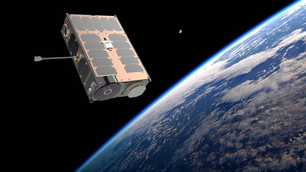
However Ukraine and their partners in Czechia are already one step ahead, proposing a new group that will operate the newly launched Czech TROLL mini spy satellite, carrying a 10cm mirror and a 5m/pixel resolution, its ideal of distance observation of wider areas – especially troop build-ups and structures.
Perhaps more important is the Ukrainian designed DRAK satellite being built with the Czech TRL Consortium. This is even more accurate with a 1m/pixel resolution.

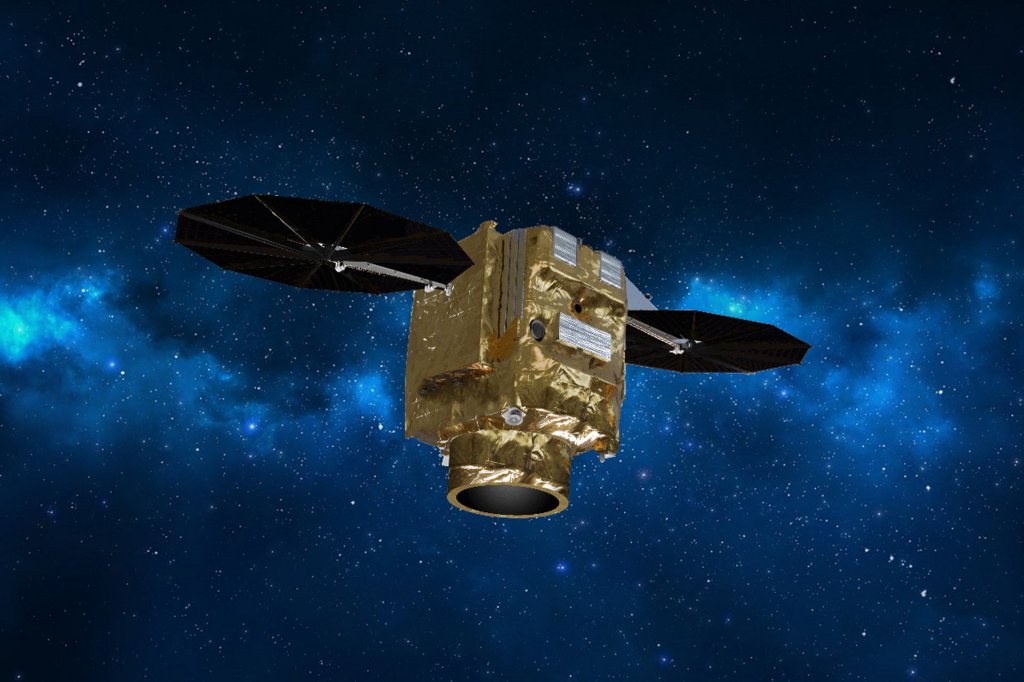
A European Ariane 6 rocket successfully launched the CSO-3 reconnaissance satellite, a project jointly funded by France, Germany, and Belgium in the past few months. It’s expected that the images collected by CSO-3 would be accessible not only to all three governments and Ukraine, which France has said it will share its data with.
Clearly the war has stimulated much wider interest in the realities and importance of space reconnaissance. Europe in the past three years has made huge strides generally. American demolition of the old reliabilities of the now deceased world order, have made those decisions even more critical than they were. They almost seem farsighted.
Nobody wants to be on the end of an American refusal to selectively share data ever again. Much as Europe has rapidly escalated its communication satellite capabilities it is now doing the same with its spy satellites. Because the moto “Forewarned is forearmed”, is one that really matters in this modern age.
The Analyst
militaryanalyst.bsky.social

Thanks for the assesement. Availability of satelite imagery is a rather big problem, with the US playing the “i like you, i do not like you game on an erratic base” Actually nothing you can count on at the moment. At least for now. Another warning light for Europe.
Thanks for your work and thoughts on that matter!
LikeLiked by 2 people
I can’t help but think that High Altitude long range stealth aircraft may be much more useful than satelites.
LikeLiked by 1 person
They are ideal as a supplement to satellites. They do the detail work while satellites find the places that need detail imaged.
LikeLike